Missing Person Search
Choose Water Linked for your missing person search needs and experience the advantages of our advanced technology solutions, ensuring the highest level of precision, efficiency, and operational excellence in underwater search operations.
The sensors of Water Linked bring many advantages to systems that can be utilized for searching for missing persons. Our solutions can ensure the accuracy of search patterns, thorough coverage, and real-time status monitoring, improving the efficiency and effectiveness of recovery missions.
Back-up navigation for surface vehicles
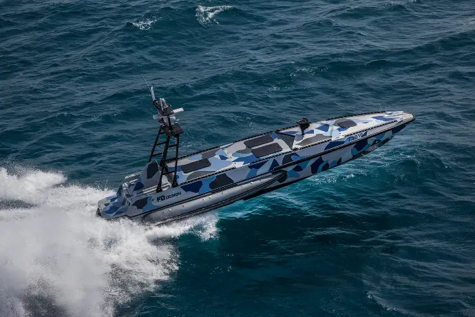
Narrowing the search area is the first step in any missing person search. When traveling over large bodies of water, accurate search patterns are important to ensure that you cover every part. A Doppler Velocity Log (DVL) can support the vehicle's navigation system which is especially useful when satellite navigation is lost or not available.
Increase navigation capabilities during the taking of visual records
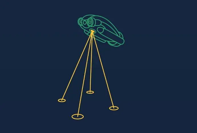
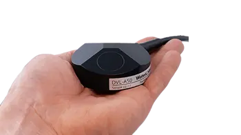
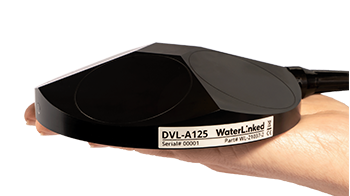
Our DVLs enhance diver and underwater vehicle navigation by measuring velocity relative to the seabed. Water Linked’s DVL A50 and DVL A125 can independently perform dead-reckoning over a short time using their built-in IMUs, and our API enables integration with external INS for accurate positioning during longer missions.
While an INS alone provides heading and acceleration data, inevitable sensor drift causes its output to diverge over time. DVLs mitigate this drift by offering velocity measurements relative to the seabed. Therefore, integrating INS with DVLs has become standard when requiring high accuracy underwater navigation.
Our DVLs not only improve positioning accuracy but also enable real-time path optimization, enhancing systematic area coverage. They help a diver and underwater vehicle accurately map the route covered during a search and ensure the position of items of interest are accurately recorded. Furthermore the DVL is a critical input for vehicle station keeping, a useful tool for performing detailed inspection and filming of targets of interest.
Real-time positioning and marking points of interest
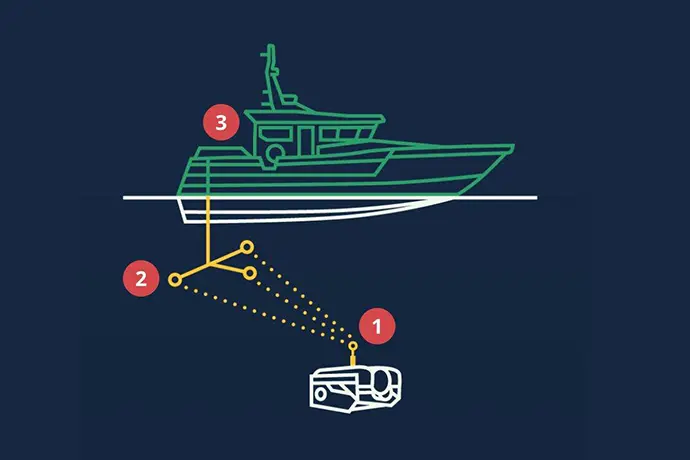
Water Linked’s Underwater GPS (UGPS) takes underwater navigation to the next level by providing accurate absolute positioning and tracking in real-time. The UGPS is especially beneficial in environments where traditional navigation tools struggle, such as shallow waters, near subsea installations, or inside confined spaces like tanks or harbors.
This makes the UGPS a perfect tool to assist during search and recovery missions. During the taking of visual records, for instance, Water Linked’s Underwater GPS (UGPS) can be advantageous to geographically mark points of interest and simplify returning to the same point later for further investigation.
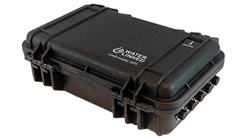
Designed with portability, efficiency and ease-of-use in mind, our Underwater GPS systems offer precise positioning and tracking capabilities without the complexities. Just set up the antenna (UGPS G2 system) and track the locator with absolute GPS position through the user-friendly topside graphical user interface. No need to integrate additional third-party sensors!
Ensure a clear visual record, even in zero visibility
Vehicles with cameras are often used to take an image of the scene, but even with the best efforts, factors such as depth, distance to the target, and water clarity can adversely affect image quality. In certain underwater locations, visibility is zero, making investigations more challenging and potentially unsafe.
Water Linked’s Sonar 3D-15 can be a great solution for this problem, ensuring that you get a clear 3D image of the scene, even when the visibility is very bad. The Sonar 3D-15 is an advanced, real-time 3D multibeam imaging sonar that creates real-time 3D imaging. The digitized point cloud output of our 3D sonar also allows users to integrate with third-party software for full spatial awareness visualization.
First and foremost, our Sonar 3D-15 can help ROVs navigate and avoid obstacles. It’s ideal for improving ROV navigation and obstacle avoidance. With real-time datapoints generated, the Sonar 3D-15 opens the possibility for integration on Autonomous Underwater Vehicles (AUVs) to execute complex decision-making processes, such as recognizing objects and human remains.
Send updates to the surface in real-time
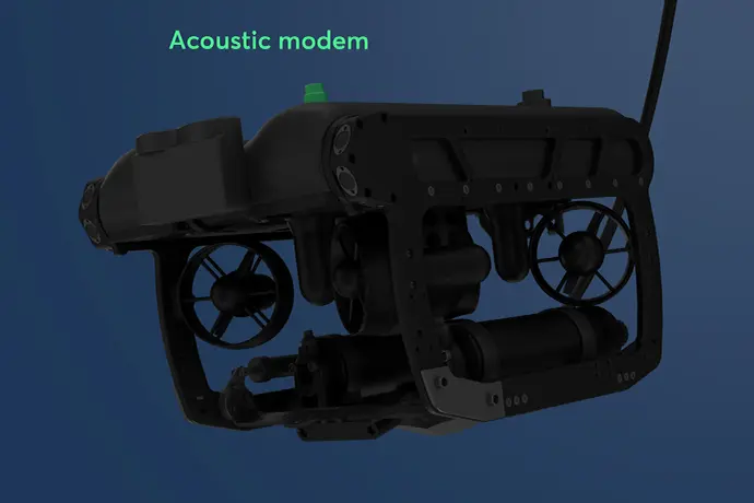
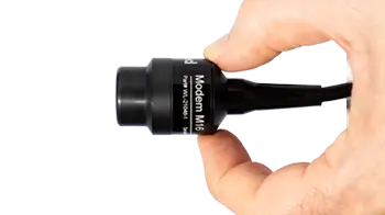
If an AUV has identified an object of interest, it can send a signal to the surface when integrated with an acoustic modem, such as our Modem M16. When searching large scenes, such as crash sites, it may be be necessary to employ AUVs or multiple vehicles. Inter vehicle communication is then an important feature that our Modem M16 could offer.
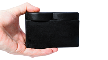
The compact Modem M16 offers reliable, robust communication when interacting with other AUVs, subsea sensors, or ROVs. It serves as a communication bridge for sending mission instructions, status updates, and critical data between vehicles. Its low power consumption makes it suitable for long-duration missions, while its small size allows for easy integration on underwater vehicles without adding significant weight or bulk.
One example of an AUV using our Modem M16 is Watbots, of which you can find a video on the right side.
Enhancing your Search and Rescue Operations with Water Linked Technology
SAR organizations should consider Water Linked products for their ability to enhance precision and safety in challenging underwater environments. Our solutions improve navigation, communication, and visual clarity, ensuring search areas are thoroughly covered, and key data is transmitted in real-time.
By integrating our advanced technologies, SAR teams can increase the effectiveness of their missions and improve the chances of successful recoveries in critical situations.
Why choose Water Linked products?
Small size
Our sensors are all developed to fit on small vehicles as well as bigger ones, without compromising performance.
Light weight
Lightweight sensors allow fitment on lighter vehicles, and leave you with excess payload capacity for other equipment.
Low power consumption
Our smart, proprietary technology leaves more power for your other devices or can help free up payload capacity due to requiring
smaller battery packs.
The DVL's output was fused with other sensor data to deliver even more precise navigation and altitude control, enhancing our AUVs' ability to carry out operations and navigate with great precision.
- Craig Anderson, co-founder, Boxfish
Product options
Customer stories
