DVL A125
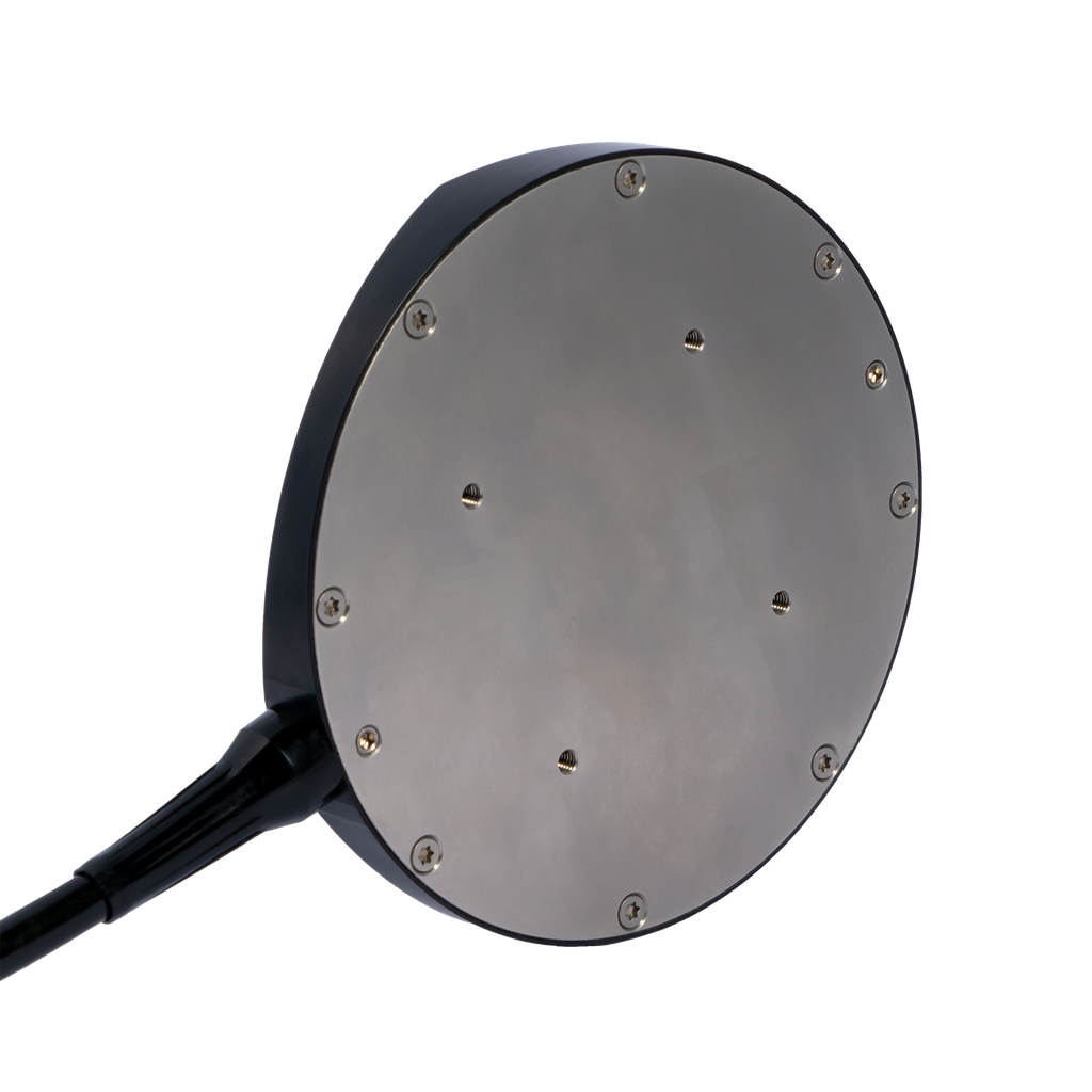
The DVL-A125 is the world’s smallest long-range Doppler Velocity Log.
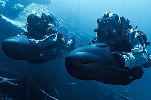
The A125 provides accurate velocity data relative to the seabed. This data allows underwater vehicles and divers to navigate with greater precision and stability, even in dynamic environments like strong currents or complex terrain.
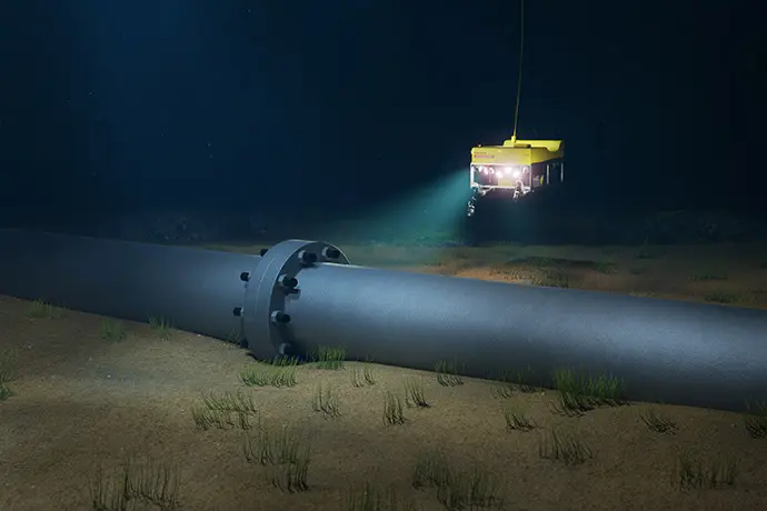
With an extremely wide operating altitude of 5 cm to 125 meter, the A125 is the “Swiss army knife” of DVLs! Offering a very high maximum velocity of 9 meter per second, the A125 is the ideal DVL not only for ROVs but also for USVs and fast AUVs.
Operate in deeper water with confidence
4,000 m depth rating
Work at long and ultrashort range
5 cm - 125 m acoustic range
Unbeatable price/performance
From less than $11,000 US
Features
5 cm - 125 m
altitude range
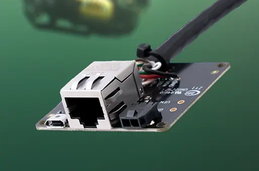
Ethernet and Serial interface
Embedded computer for standalone operation
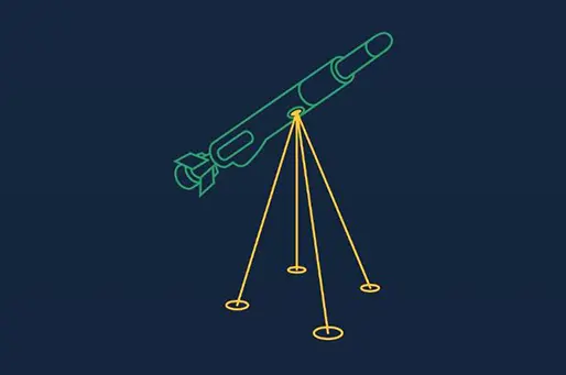
AHRS sensor assist for increased accuracy
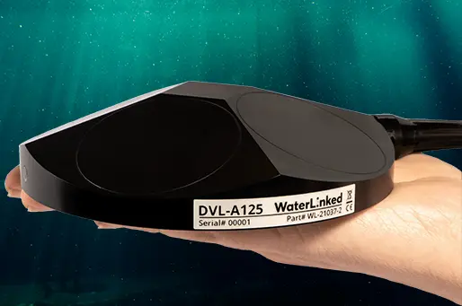
Extremely small size, enabling easy mounting and integration
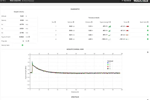
Web GUI with comprehensive diagnostic features
Technical specifications
Mechanical
- Device diameter 125mm
-
Device height
30mm
-
Device weight (air)
750 grams
- Device weight (submerged) 500 grams
-
Depth rating
600 or 4,000 meters
- Materials PEEK (housing)
- Stainless steel 316 (back plate)
-
Operating temperature
-5 to 55 °C
Electrical / Interface
-
Input voltage
10-30 Vdc
-
Power consumption
4 W (average)
-
Power-on current surge
35 W (maximum)
- Physical interface 8 wires (pwr/serial/Ethernet)
- 3 meter cable (PUR 7.8 mm diameter)
- with interface module
-
Indicator
Status LED (Power, Lock)
- Communication UART 115200 baud serial 3,3V
- Ethernet
-
Protocols
Water Linked API, PD4, and PD6 URL
Acoustic / Performance
-
Transducer frequency
420 kHz
-
Transducer setup
4-beam convex Janus array
-
Transducer beam angle
22.5 degrees
-
Ping rate
2-15 Hz (adaptive to altitude)
-
Sensor assist
Integrated AHRS/IMU (Yost Labs TSS-NANO)
-
Min altitude
5 cm
- Max altitude 125 meters
- (max altitude dependent on seabed conditions, salinity levels etc.)
-
Max velocity
9 m/s
-
Velocity resolution
0.1 mm/s
- Long term accuracy ±1.01 % (Standard version)
- ±0.1 % (Performance version)
Approvals
-
CE certificate
Yes - RoHS compliant Yes
Small size long-term accuracy
Standard version
±1.01%
Performance version
±0.1%
World's smallest long-range DVL
since 2021
Follow the industry trend
As underwater vehicles become smaller and more accessible, the demand for affordable, lightweight sensors is skyrocketing. Stay ahead of the curve and make sure that you meet your customers' needs.
Water Linked has changed the game when it comes to DVLs for ROVs and UAVs. The A50 and A125 are impressively compact and provide an accurate, robust measurement that is enabling subsea autonomy in many new places.
Rustom Jehangir - founder and CEO at Blue Robotics
Held in stock by leading vehicle manufacturers
Water Linked has changed the game when it comes to DVLs for ROVs and UAVs. The A50 and A125 are impressively compact and provide an accurate, robust measurement that is enabling subsea autonomy in many new places.
Rustom Jehangir - founder and CEO at Blue Robotics
Downloads / Resources
Contact us for more information

"Hi there, are you not ready to commit yet or do you have an inquiry regarding your specific needs? Simply request a quote, and we'll send one over promptly. Alternatively, book a meeting to discuss your needs in detail."
- Scott
REQUEST A QUOTE BOOK A MEETING


