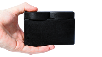
3D sonar
Understand your surroundings and see clearly in shallow and murky waters with real-time 3D imaging
At Water Linked we create cutting-edge 3D sonar technology. Our Sonar 3D-15 for example is an advanced 3D multibeam imaging sonar. It’s real-time, forward-looking and allows you to create intricate 3D point cloud models. But what does this all mean? Let’s us first take a look at what 3D sonar actually is and how it works. Then from there we will zoom in on what our 3D sonar technology can help you accomplish.
What is 3D sonar?
A 3D sonar is a type of sonar (sound navigation and ranging) system that uses sound waves to create three-dimensional images of underwater objects or environments.
How does 3D sonar work?
A 3D sonar image is generated by simultaneously forming acoustic beams that cover multiple rows, rather than just a single row of beams only capable of producing a 2D image.
Our Sonar 3D-15 for example forms 16,000 beams, known as voxels. A voxel provides a value on a regular grid in three-dimensional space, meaning that they all have X, Y, Z and intensity data connected to each of them. As long as you know where the sonar is then you know exactly where each point is located as a georeferenced coordinate.
With this data you can then create a larger 3D point cloud that you can store, analyze and integrate with other data.
The benefits of 3D over 2D
2D Sonar provides a simplified, single-plane representation of underwater environments, primarily offering insights into object presence but lacking detailed positional information. It essentially gives a top-down view of the underwater scene. Furthermore, to interpret the image you often require training and a lot of experience to be able to understand what is shown on 2D sonar images.
On the other hand, a 3D sonar delivers a comprehensive view of the area that has been ensonified by the sonar, capturing spatial dimensions in width, height, and depth. This enables a more accurate portrayal of underwater terrain and objects from various perspectives.
To interpret 3D sonar images you don’t need special training, because it will often be completely clear what you’re looking at in just a single glance. Using a 3D sonar instead of a 2D sonar can significantly speed up decision-making processes in underwater operations.
A 3D multibeam imaging sonar can provide the user with a comprehensive underwater scene to simplify navigation within. The three-dimensional data can be rotated and adjusted for better visualization and interpretation.
Want to experience the benefits of 3D for yourself? Explore our Sonar Replay GUI and load one of the demos.
Experience 3D sonar for yourself
Experience real-time 3D
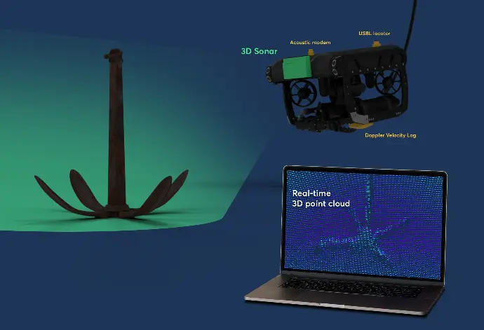
Traditional sonar systems such as 2D multibeam imaging and scanning sonars do have the potential to generate 3D images by combining data from multiple scans. This however requires the data to be post-processed and therefore it's not "real-time". A real-time 3D sonar creates 3D-imagery immediately and makes it accessible to the user in real-time, something that is critical when used for navigation and obstacle avoidance. Our Sonar 3D-15 for example is a real-time 3D sonar.
The advantages of a real-time 3D multibeam imaging sonar over traditional 2D sonar include:
- Each acoustic 'ping' generates a complete 3D image without the need for scanning, motion compensation, or post-processing
- You can create a clear 3D image of what you see underwater in real-time
- Merging multiple pings results in extensive coverage and detailed infill from various angles, producing a 3D point cloud
Applications of 3D Sonar Technology
Inspections
The versatility of 3D sonar extends across a spectrum of critical applications. Some applications are:
Pipeline Inspections
Navigate murky waters with confidence using 3D sonar, essential for detecting damage, spans, and maintaining rock dump integrity in gas and oil pipeline operations.
Infrastructure Inspections
Overcome the challenges of inspecting large underwater structures like bridge pilings and dock piers with comprehensive 3D sonar assessments, identifying defects and monitoring changes over time.
Tunnel Inspections
Harness the power of 3D sonars for tunnel inspections, leveraging their superior image quality and multibeam capabilities for unparalleled insights in murky waters.
Marine Salvage Efforts
Navigate murky depths and pinpoint submerged objects with precision, aiding in salvage operations and preserving underwater heritage.
Mine Countermeasures
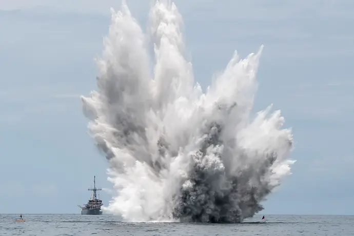
Ensure underwater safety by employing 3D sonar to detect explosive threats like unexploded bombs, mines, and torpedoes, while facilitating underwater communication for submarines and ships.
Because the Sonar 3D-15 has been recognized as a groundbreaking piece of technology by the NATO, Water Linked has been handpicked to be part of the NATO accelerator program DIANA..
Search and Rescue
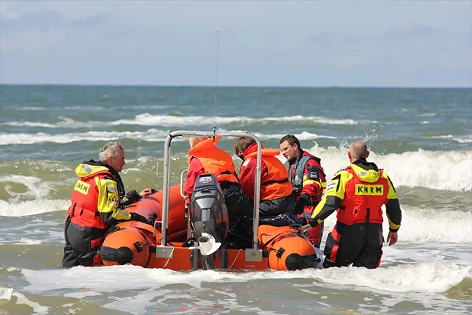
Enhance efficiency in locating evidence or victims of boating accidents with 3D sonar, guiding divers to recovery sites and ensuring swift, safe retrieval.
AUV and ROV Navigation
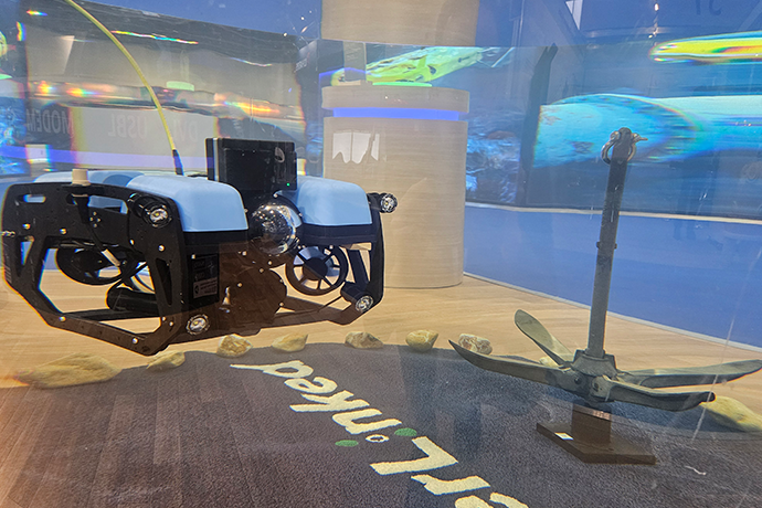
Equip AUVs and ROVs with our 3D sonar system to enhance navigation capabilities, enabling efficient exploration and object detection even in low-visibility environments.
Surveys, mapping and object location
Secure offshore wind turbine installations with meticulous 3D sonar surveys, guaranteeing the stability of underwater foundations.
With a 3D sonar, you can generate a three-dimensional representation of the seabed, underwater structures, and any objects in its vicinity. These maps are valuable for scientific research, ocean exploration, and underwater surveys.
With 3D sonar object location, you can detect targets on the water column or seabed with precision and efficiency without having to undertake any training or have extensive experience in reading sonar imaging.
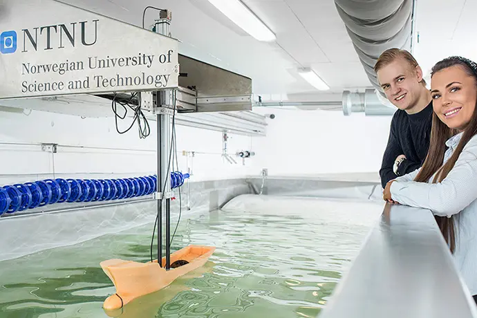 Photo courtesy by Norwegian University of Science and Technology - NTNU
Ocean Science and Academic Research
Propel underwater discovery and scientific research forward with 3D sonar technology, providing invaluable insights into aquatic ecosystems and environmental conditions.
Applications of our Sonar 3D-15
Water Linked’s Sonar 3D-15 is an advanced 3D multibeam imaging sonar with a range of 15 meters. You could say that its biggest advantage lies in underwater navigation, inspection, mapping and target identification. With real-time 3D data now accessible from such a compact sensor, countless opportunities for advanced levels of autonomy will emerge—many of which we have yet to even imagine..

"Water Linked’s agility in addressing our needs ensures seamless integration and operational efficiency. Their team is always available to provide prompt and effective support. We also value the personal touch that fosters a relationship grounded in mutual respect and trust.
"
- Cody Warner, Director of Sales and Marketing, Deep Trekker
Product features
Small size
Our sensors are all developed to fit on small vehicles as well as bigger ones, without compromising performance.
Light weight
Lightweight sensors allow fitment on lighter vehicles, and leave you with excess payload capacity for other equipment.
Low power consumption
Our smart, proprietary technology leaves more power for your other devices or can help free up payload capacity due to requiring
smaller battery packs.
Product options
