Underwater surveys are used for seabed mapping, infrastructure inspections, environmental monitoring, and resource exploration. Industry sectors such as oil and gas, marine construction, environmental conservation, defense, and telecommunications heavily rely on the success of these underwater missions. Yet, these complex operations often face challenges such as poor visibility, lost signals, and the need for precise navigation.
Water Linked’s innovative products, including DVLs, 3D sonar, UGPS, and acoustic modems, address these challenges by enhancing the precision, stability, and communication capabilities of AUVs and ROVs often used during underwater surveys. When our products are integrated into these underwater vehicles, they can together ensure that underwater surveys can be conducted with greater efficiency and accuracy.
Back-up navigation for your USV
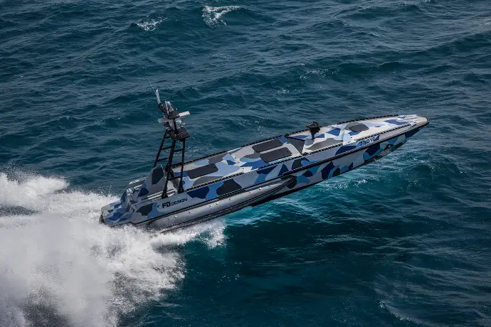
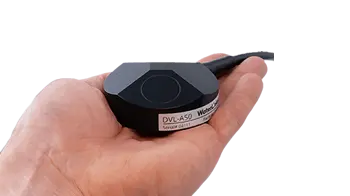
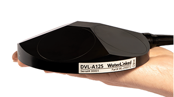
As Unmanned Surface Vehicle (USV) technology advances, GNSS outages due to environmental factors, jamming, or infrastructure interference are concerns. A Doppler Velocity Log (DVL) can act as a backup navigation sensor when GNSS is lost. Where the water depth is less than 50m, our DVL A50 can provide critical velocity data to allow the USV to continue to operate efficiently without GNSS signals, and our DVL A125 can be used where the water depth is up to as much as 125m.
Precise navigation and control for your surveys
Accurate navigation is a cornerstone of any successful underwater survey. Water Linked’s DVL A50 and DVL A125 provide high accuracy velocity data, allowing underwater vehicles to maintain a precise path during operations. For example, in a bathymetric survey mapping the seafloor, our DVLs can help an underwater vehicle calculate a route precisely and let it follow a consistent trajectory.
While surface vehicles, such as boats equipped with sonar systems, are commonly used for conducting bathymetric surveys, underwater vehicles like AUVs and ROVs are increasingly being used. They are often used under ice, around submerged structures, or in other complex environments.
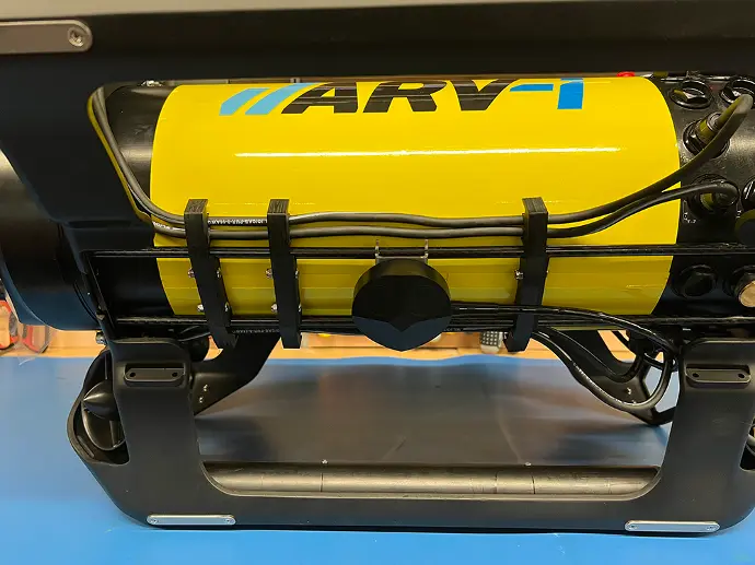
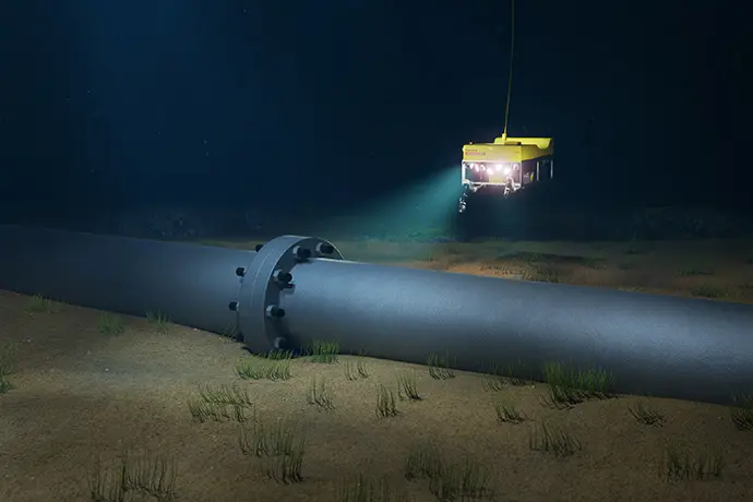
The built-in IMU of the DVL allows for short-term dead reckoning positioning, while for longer surveys, the DVL can be integrated with an INS to increase precision. This is crucial for maintaining accuracy in mapping submerged environments, such as around offshore wind farms or along subsea cables.
In surveys requiring terrain-following or operations in tight spaces like hydrographic surveys in busy ports, our DVLs help maintain vehicle stability and control, preventing drift even in strong currents. By letting underwater vehicles hold position and enhancing vehicle stability, our DVLs ensure that underwater vehicles perform precise maneuvers required for accurate data collection, whether it's mapping the seabed or identifying underwater hazards.
Many integrated navigation systems of underwater vehicles also include an acoustic positioning system to prevent drift over long distances and to add absolute positioning and tracking capability to underwater vehicles.
Accurate positioning and tracking for detailed surveys
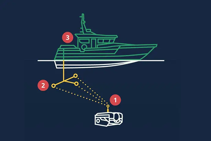
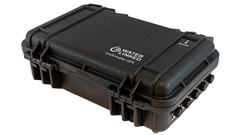
Determining your absolute geographic location ensures that survey data is correctly georeferenced. Water Linked’s UGPS G2 can provide precise positioning for AUVs and ROVs, even in challenging environments, such as in shallow waters, tanks, or around submerged infrastructure.
For example, during a geological survey, the UGPS can help to accurately georeference the collected data to identify underwater resources or hazards. By providing real-time position fixes, the UGPS helps mitigate drift and ensures that survey vehicles maintain their planned routes, which can result in higher-quality survey data.
This precision is particularly valuable in complex environments like subsea oil platforms or in ecological surveys where revisiting specific locations for repeat monitoring is crucial.
Clear imaging in low-visibility conditions
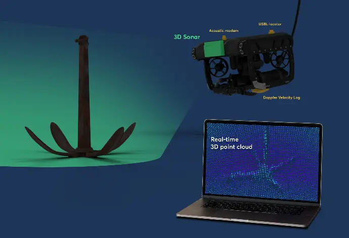
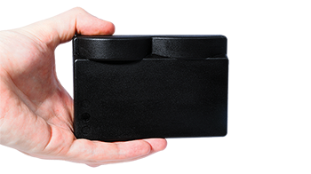
Visibility challenges, such as turbidity or biological growth, can make traditional camera systems ineffective during underwater surveys. Water Linked’s Sonar 3D-15 provides real-time 3D imaging, enabling survey vehicles to "see" even in the murkiest waters.
In geological or archaeological surveys, for example, the 3D sonar helps visualize rock formations or historical artifacts, offering a detailed point cloud that can be used to create 3D models of underwater features. This makes it possible to assess structural integrity, locate mineral deposits, or preserve archaeological sites without disturbing them. The Sonar 3D-15's lightweight, compact design allows it to be easily integrated into any AUV or ROV, making it an ideal solution for diverse underwater survey applications.
Reliable communication for real-time data and adjustments
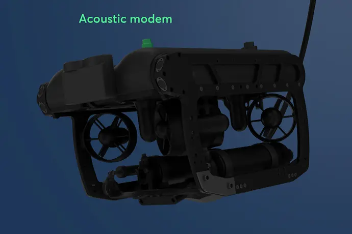
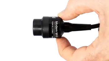
Effective communication between surface teams and underwater vehicles is critical for the success of underwater surveys. The Modem M16 ensures that operators can send and receive critical data in real-time, enhancing operational efficiency. For example, during a hydrographic survey of a port, the Modem M16 enables the AUV to send status updates and environmental data back to the surface team, allowing them to adjust the vehicle's course or parameters based on real-time insights.
The Modem M16 also facilitates inter-vehicle communication, allowing for coordinated AUV and ROV operations during large-scale surveys. This is especially valuable when conducting surveys over expansive areas, such as a geological survey of an offshore oil field, where multiple vehicles may need to work together to cover the entire site efficiently. The modem’s low power consumption and rapid boot-up time ensure that it supports long-duration missions without draining the vehicle’s power, making it a robust tool for extended underwater surveys.
The DVL's output was fused with other sensor data to deliver even more precise navigation and altitude control, enhancing our AUVs' ability to carry out operations and navigate with great precision.
- Craig Anderson, co-founder, Boxfish
A great addition to your underwater survey equipment
Reliable data collection
With precise navigation, high-resolution imaging, and accurate positioning, our solutions ensure reliable and detailed data collection for a wide range of survey types.
Operational Efficiency
Our integrated solutions enable thorough area coverage, real-time data transmission, and the flexibility to adapt to changing survey conditions, making operations more efficient.
Informed Decision Making
With access to real-time data and detailed visual and positional information, survey teams can make quick, informed decisions, optimizing the success of the mission.
Integrate Water Linked Solutions for Maximum Survey Efficiency
Whether you're conducting bathymetric surveys, geological explorations, or ecological assessments, integrating our products with your AUVs or ROVs can increase the precision and efficiency of your surveys, even in the most challenging environments.
Explore our range of products today and take your underwater survey operations to the next level.
Product options
Customer stories
