Diver tracking and navigation
Water Linked’s advanced technologies provide divers with the tools for safe and efficient underwater navigation across various critical applications, from military and commercial operations to scientific research and rescue missions. Whether dealing with unexploded ordnance, seabed infrastructure, or historical artifacts, our compact, reliable systems can dramatically improve the precision and safety of diver operations.
Military, police, and commercial divers are examples of divers who often have to follow a very accurate dive path. This can be achieved with reliable acoustic positioning, such as our Underwater GPS. However, when very long range is needed, you have to look for a solution that does not require topside support. Our DVL can help with this and is used for low-visibility diving, long-range dives, and diver waypoint navigation.
Carry out explosive ordnance disposal tasks more safely and effectively.
Military divers often use swim boards to navigate underwater accurately. These boards typically feature a compass to guide the diver underway. With a DVL mounted on an electronic swim board, divers can track how far they have swum, where they are, and how they can find their way back to their starting point. The DVL can also track where they have been diving and mark points of interest (POI).
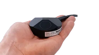
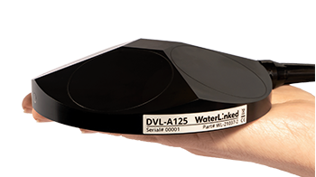
Navy mine clearance divers work in high-risk environments where accurate navigation and precise positioning are essential. Water Linked’s DVLs (Doppler Velocity Logs), like the DVL A50 and DVL A125, provide real-time velocity data and enable accurate positioning of diver movements. This is crucial when approaching unexploded ordnance, where divers need to maintain a safe distance while ensuring they can maneuver effectively in tight or cluttered spaces.
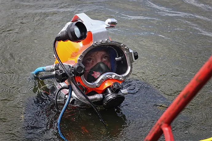
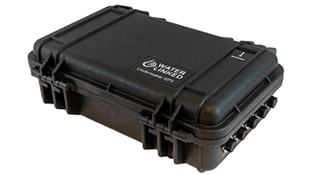
For diver tracking, our Underwater GPS allows surface operators to monitor diver positions in real-time, even in complex environments like shallow waters or around subsea structures. This enhances safety by enabling surface teams to track and direct divers as they clear hazardous areas.
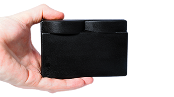
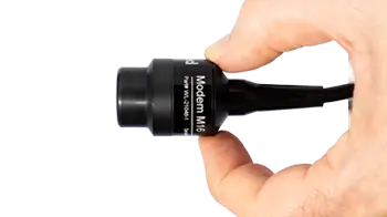
The Modem M16 further enables communication between divers and surface teams, enabling integration to allow transmission of alerts and position updates while minimizing power consumption. This reliable communication helps coordinate efforts and ensures divers can safely and effectively carry out ordnance disposal tasks.
Water Linked’s Sonar 3D-15 can provide real-time, high-resolution 3D imaging of the underwater environment. When integrated on a diver platform it allows divers to accurately locate and identify ordnance or other hazardous objects on or near seabed infrastructure. The sonar can help differentiate between ordnance and other metallic debris, speeding up the process of threat identification and neutralization.
Inspect and maintain underwater infrastructure with more stability and precision
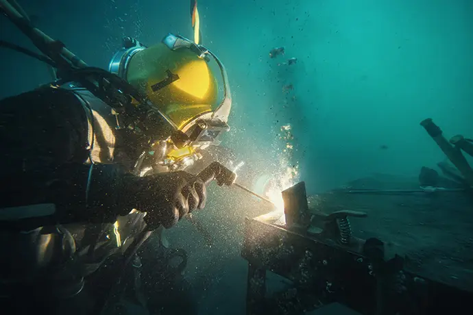
Inspecting and maintaining seabed infrastructure such as pipelines, wellheads, and subsea structures is vital for operational safety in the oil and gas sector.
With the help of our DVLs, diver platforms can be used to allow divers to carry out detailed inspections while accurately tracking movements. The DVLs compact design makes them ideal for integration on portable platforms, allow operations to be undertaken in confined areas around subsea structures.
The UGPS system offers real-time position fixes from the surface for accurate asset tracking, ensuring divers stay on course when inspecting long stretches of pipelines or wellheads.
The 3D Sonar can be utilized to provide real-time imaging of subsea structures, assisting divers in assessing structural integrity, detecting leaks, or identifying areas needing maintenance.
The Modem M16 further enhances communication by enabling the transmission of position updates between divers, ROVs, or surface vessels. This ensures coordinated and efficient inspection operations while minimizing downtime.
Locate underwater objects more easily
Divers, such as search and rescue divers, need fast and accurate situational awareness to locate lost property, submerged vehicles, or aircraft wreckage. Water Linked’s 3D Sonar can be utilized to quickly map out the search area, providing detailed real-time imaging of the underwater scene. This makes it easier to locate and identify objects such as vehicles or wreckage that might be hidden or partially buried under sediment.
During these operations, the UGPS system ensures that divers can be tracked accurately and search patterns can be effectively managed from the surface. Divers are then equipped with the necessary tools to navigate complex underwater terrains while maintaining precise navigation control, which is crucial when searching in challenging environments.
The Modem M16 can be used to provide reliable communication, allowing divers to send updates or request assistance without compromising their focus on the task at hand. This communication link helps coordinate search efforts, ensuring divers and surface teams can work together seamlessly in time-sensitive missions.
Explore underwater antiquities with minimal disruption
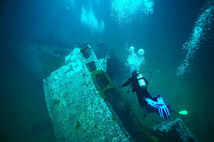
Marine biologists, archaeologists, and sport divers exploring ancient shipwrecks, artifacts, or unique ecosystems often require accurate navigation and real-time environmental data.
Water Linked’s Sonar 3D-15 provides stunning 3D point cloud data, allowing areas of interest to be studied to a high degree of accuracy without disturbing the environment. This is particularly useful for archaeologists in documenting and preserving historical sites and artifacts found on the seabed or lakebed.
The DVL provides precise velocity data, which, when integrated with a diver platform, allows for accurate positioning, making navigating delicate sites easier during exploration or excavation. This is critical when working with fragile structures or ecosystems, where minimal disruption is essential.
The UGPS ensures that surface teams can monitor the diver’s location, guiding them to specific areas of interest. For research and documentation purposes, the Modem M16 supports seamless communication between divers and surface operators, ensuring that environmental data or updates about critical findings can be relayed instantly, facilitating smoother collaboration during scientific or exploratory missions.
"Integrating the UGPS with our mapping system allows us to dynamically transfer the mapping data onto the photogrammetry models. This way we can also much more accurately navigate the diver around these fragile pieces of history, from above the surface.
"
- Pawel, founder Archcom, archaeological and commercial services
Product features
Small size
Our sensors are all developed to fit on small vehicles as well as bigger ones, without compromising performance.
Light weight
Lightweight sensors allow fitment on lighter vehicles, and leave you with excess payload capacity for other equipment.
Low power consumption
Our smart, proprietary technology leaves more power for your other devices or can help free up payload capacity due to requiring
smaller battery packs.
Product Options
Customer stories
